Warning
Motomap is currently in the process of being containerized, you may have to pull an older motomap.sh file for these instructions to work properly
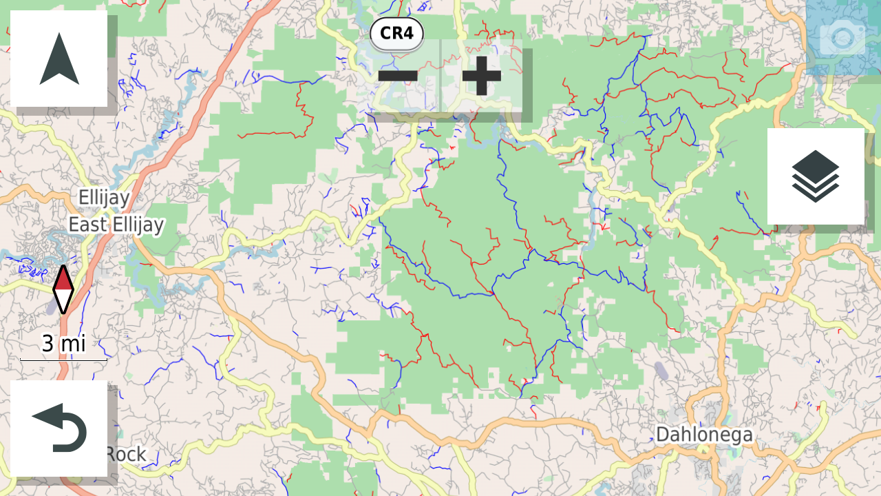
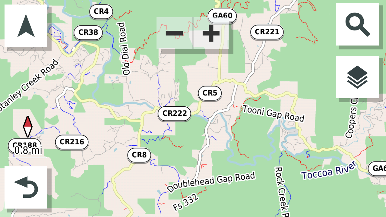
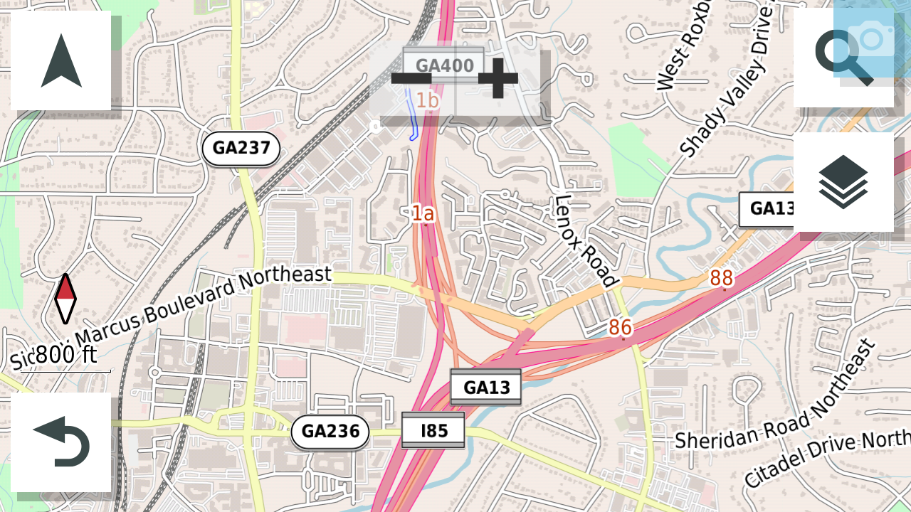
A set of mkgmap configuration files and shell scripts to create adventure motorcycle maps for Garmin devices. The style uses OpenStreetMap data to highlight roads that have been marked as unpaved in blue and smaller roads (called tracks) that are marked as unpaved in red. This configuration works well on a Garmin Zumo XT, untested on any other device. Generages multiple map files (in Garmin *.img format) and a style motomap.kmtf file that can be dropped into the filesystem of a Garmin device.
If you are looking for pre-built maps to download, you can find US/Canada maps at http://motomap.org/
- make sure you have a working java installation
- download desired map data (*.osm.pbf) from https://download.geofabrik.de/
- place map data files (*.osm.pbf) in motomap_work/
- edit motomap.sh to include paths to the map data files
- download mkgmap and place in a mkgmap directory alongside motomap
- download splitter and place in a splitter directory alongside motomap
- run motomap/motomap.sh
- copy the image files from motomap_work/*.img to your Garmin device in the /Map directory
- copy motomap.kmtf to your Garmin device in the /Themes/Map directory
Downloaded three map data files from GeoFabrik download server, created the directory motomap_work/north-america/ and copied the map data files there with the paths below:
motomap_work/north-america/us-northeast-latest.osm.pbf
motomap_work/north-america/us-south-latest.osm.pbf
motomap_work/north-america/us-midwest-latest.osm.pbf
Edited motomap.sh to include these files (exclude -latest.osm.pbf from the array) and assigned unique map ids (these are somewhat arbitrary, just keep them unique) to keep them separate in the map selection menu of the Garmin device:
map[0]="north-america/us-northeast"
map[1]="north-america/us-south"
map[2]="north-america/us-midwest"
mapid[0]="16010"
mapid[1]="16020"
mapid[2]="16030"
Ran the command motomap/motomap.sh and went to make a cup of coffee - this will take a bit of time. The script splits the *.osm.pbf files into smaller chunks to process, then builds *.img files from those chunks with the final output:
motomap_work/north-america/motomap-us-northeast.img
motomap_work/north-america/motomap-us-south.img
motomap_work/north-america/motomap-us-midwest.img
Connect your Garmin device and copy the *.img files above into /Map, restart the Garmin device.
- supports only for Latin characters
- very large maps are buggy and may not display fully
- still need to tweak what displays at each zoom level
- setting detail to "More" on GPS may slow map rendering in complex areas
Generated from a Garmin Zumo XT

Did you find a dirt road that isn't shown in blue/red on the map? This can be fixed by editing OpenStreetMap at http://openstreetmap.org/ which is the ultimate source for the map data. You will have to become a contributor (sign up for a login), then:
- Locate the road you want to update
- Edit the road, specifically the surface tag
- Valid road surfaces listed here: https://wiki.openstreetmap.org/wiki/Key:surface
- Upload your changes to OpenStreetMap
- Wait approximately 2 hours for the maps to update on the GeoFabrik download server
- Re-download the maps and re-generate the Garmin *.img files
I made a YouTube video that explains this process in detail: https://www.youtube.com/watch?v=L6S9UUMdVdg
A great resource to query OpenStreetMap data for certain features is https://overpass-turbo.eu/. This website allows you to query for features on the map that have certain attributes. The query I have been using to find dirt roads while developing the Motomap style is:
[timeout:25][bbox:{{bbox}}];
(
  way[highway][highway!~"service|footway|path|cycleway|bridleway"][access!~"private|no"][motor_vehicle!~"no|private"][surface~"unpaved|gravel|dirt|unsurfaced|earth|compacted|fine_gravel|mud|sand|ground"];
);
out body;
>;
out skel qt;
This will show all roads within the viwing window that are not commonly private roads or restricted for vehicle access, and also have a surface that is unpaved.